Share Vancouver Plan: Complete Neighbourhoods on FacebookShare Vancouver Plan: Complete Neighbourhoods on TwitterShare Vancouver Plan: Complete Neighbourhoods on LinkedinEmail Vancouver Plan: Complete Neighbourhoods link
Consultation has concluded
The concept of 'Complete Neighbourhoods' is a key component of the recently approved Vancouver Plan. As part of the engagement work related to this larger city-wide planning process, a series of activities were delivered in 2021, including walking tours, workshops, a dialogue session and a survey. Further work to refine the concept took place as part of Vancouver Plan Phase 3 and 4 activities (Fall 2021 - Spring 2022).
Through this work, we’ve reached out to all those who live, work and play in Vancouver to help shape ‘Complete Neighbourhoods’: a strong network of unique, connected places across the city.
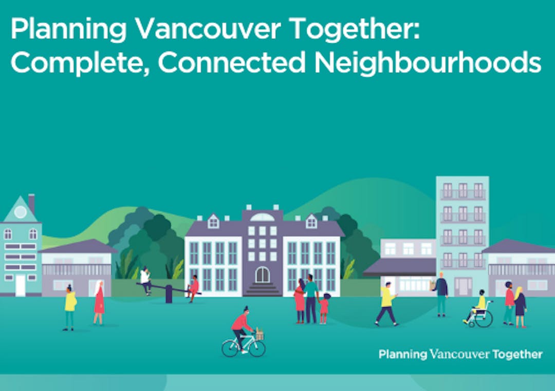
A Complete Neighbourhood has all of your essential needs within close proximity to one another, and supports the needs of all residents in a community, regardless of income, culture, background or abilities. Think: diverse housing options, a mix of shops and services, alongside childcare facilities, libraries, galleries and recreation centres – linked by lively pathways, parks and plazas.
As part of the Implementation Phase of the Vancouver Plan there will be more engagement ahead. Planning for complete neighbourhoods is an opportunity to strengthen all areas of the city – for the benefit of everyone.
The concept of 'Complete Neighbourhoods' is a key component of the recently approved Vancouver Plan. As part of the engagement work related to this larger city-wide planning process, a series of activities were delivered in 2021, including walking tours, workshops, a dialogue session and a survey. Further work to refine the concept took place as part of Vancouver Plan Phase 3 and 4 activities (Fall 2021 - Spring 2022).
Through this work, we’ve reached out to all those who live, work and play in Vancouver to help shape ‘Complete Neighbourhoods’: a strong network of unique, connected places across the city.
A Complete Neighbourhood has all of your essential needs within close proximity to one another, and supports the needs of all residents in a community, regardless of income, culture, background or abilities. Think: diverse housing options, a mix of shops and services, alongside childcare facilities, libraries, galleries and recreation centres – linked by lively pathways, parks and plazas.
As part of the Implementation Phase of the Vancouver Plan there will be more engagement ahead. Planning for complete neighbourhoods is an opportunity to strengthen all areas of the city – for the benefit of everyone.